Troïtsk
District urbain
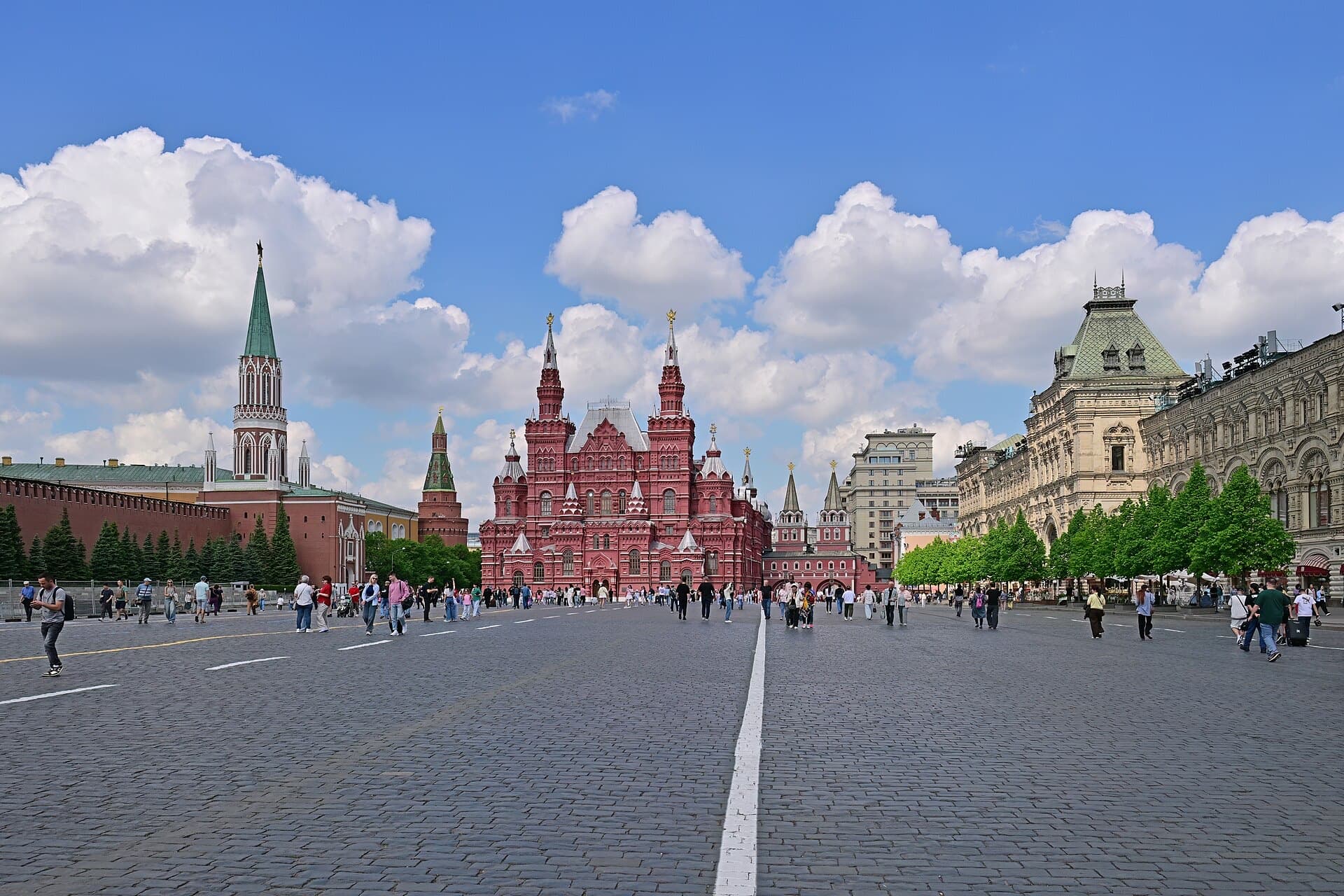
The science city of Troitsk on the Desna river with institutes of the Russian Academy of Sciences. Since 2025 the Troitsk urban okrug has combined the town and the former Desyonovskoye settlement.
Le quartier
The village of Troitskoye is known from the 17th century; a cloth mill was founded here in the late 18th century. From the 1960s physics institutes of the Academy grew around it, and the settlement became a research centre.
Troitsk became a town in 1977 and a science city in 2007. It joined Moscow in 2012 and in 2025 became an urban okrug within new boundaries.
- District administratif
- Troïtski okroug administratif
- Statut
- District urbain
- Population
- 71 615 (au 2024)
- Superficie
- 98,2 km²
- Stations dans le district
- 0
Anciennes localités intégrées au district: Desyonovskoe
Population d’après Wikidata à la date indiquée ; superficie calculée d’après la limite OpenStreetMap ; stations selon leur position dans la limite.
À voir
Desna valley
A river with walking paths in the middle of the town.
Church of the Tikhvin Icon
A 1781 church of the former village of Troitskoye.
Research institutes
The Institute for Nuclear Research, the Institute of Spectroscopy and other Academy centres.
Où se promener
- 01
Desna banks
A riverside walk.
- 02
Academic streets
A route through the scientists’ quarters.
Architecture
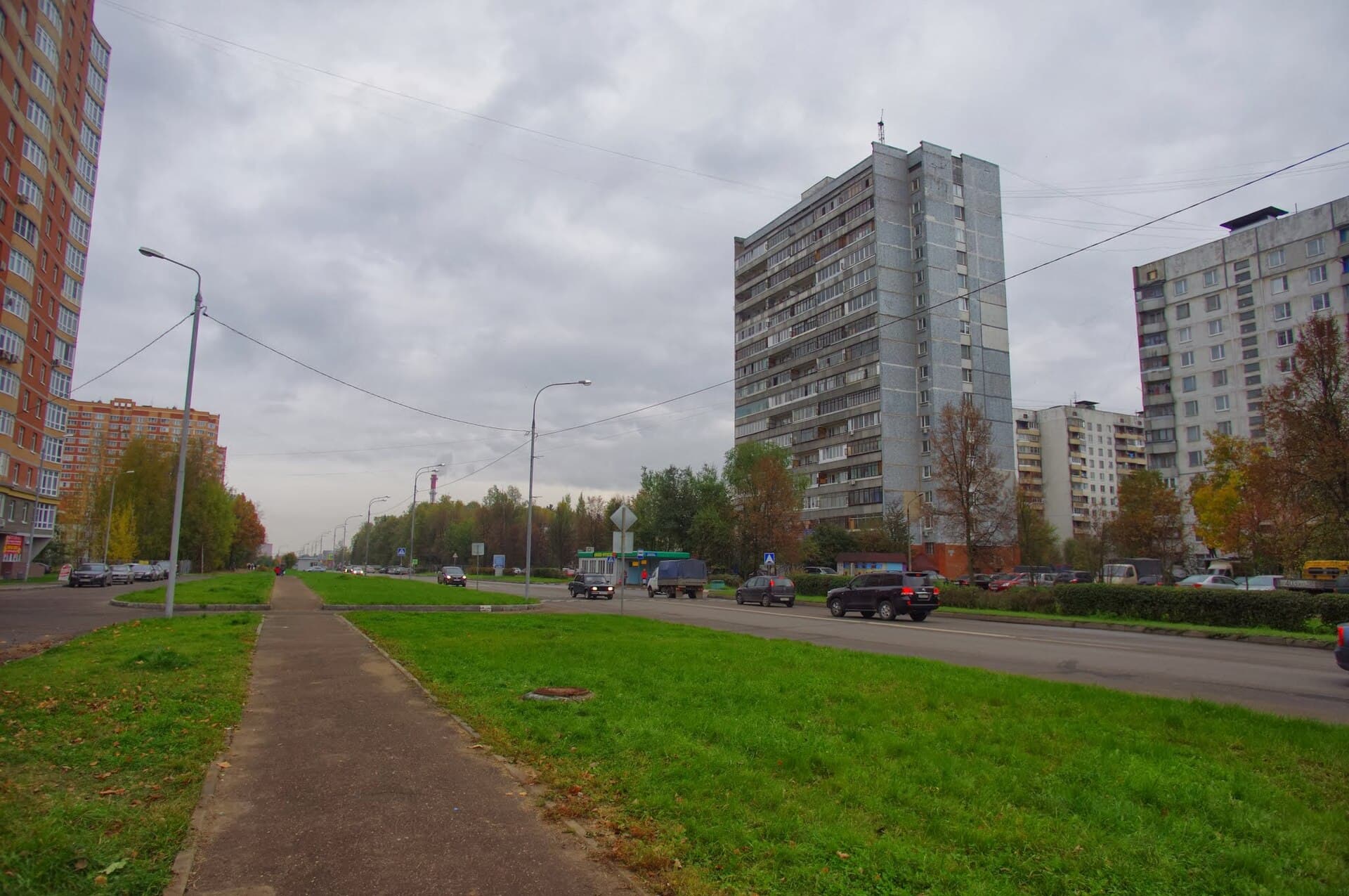
A compact green town of scientists: institutes, 1960s–1980s housing, forest and the Desna valley.Transports
Aucune station de métro, MCC, MCD ou de train de banlieue dans les limites du district.
Sur le plan des transportsStations dans le district
Le saviez-vous
- 01
Troitsk has been a science city since 2007.
- 02
The second stage of the Troitskaya metro line to Troitsk is planned; today the line ends at Novomoskovskaya.
Sur la carte
Limites : © contributeurs OpenStreetMap, ODbL. Limite d’après OpenStreetMap, novembre 2026.