街区概况
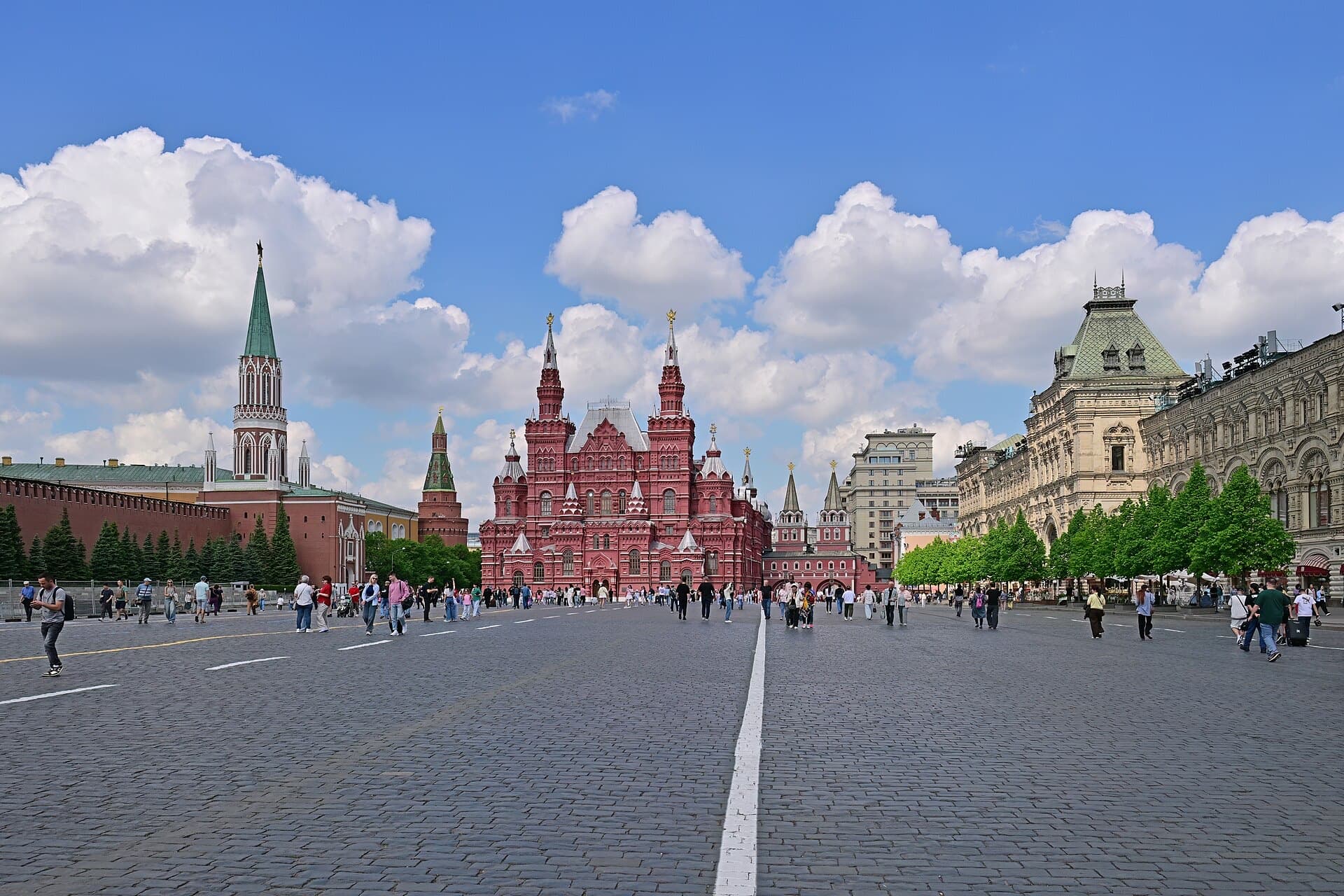
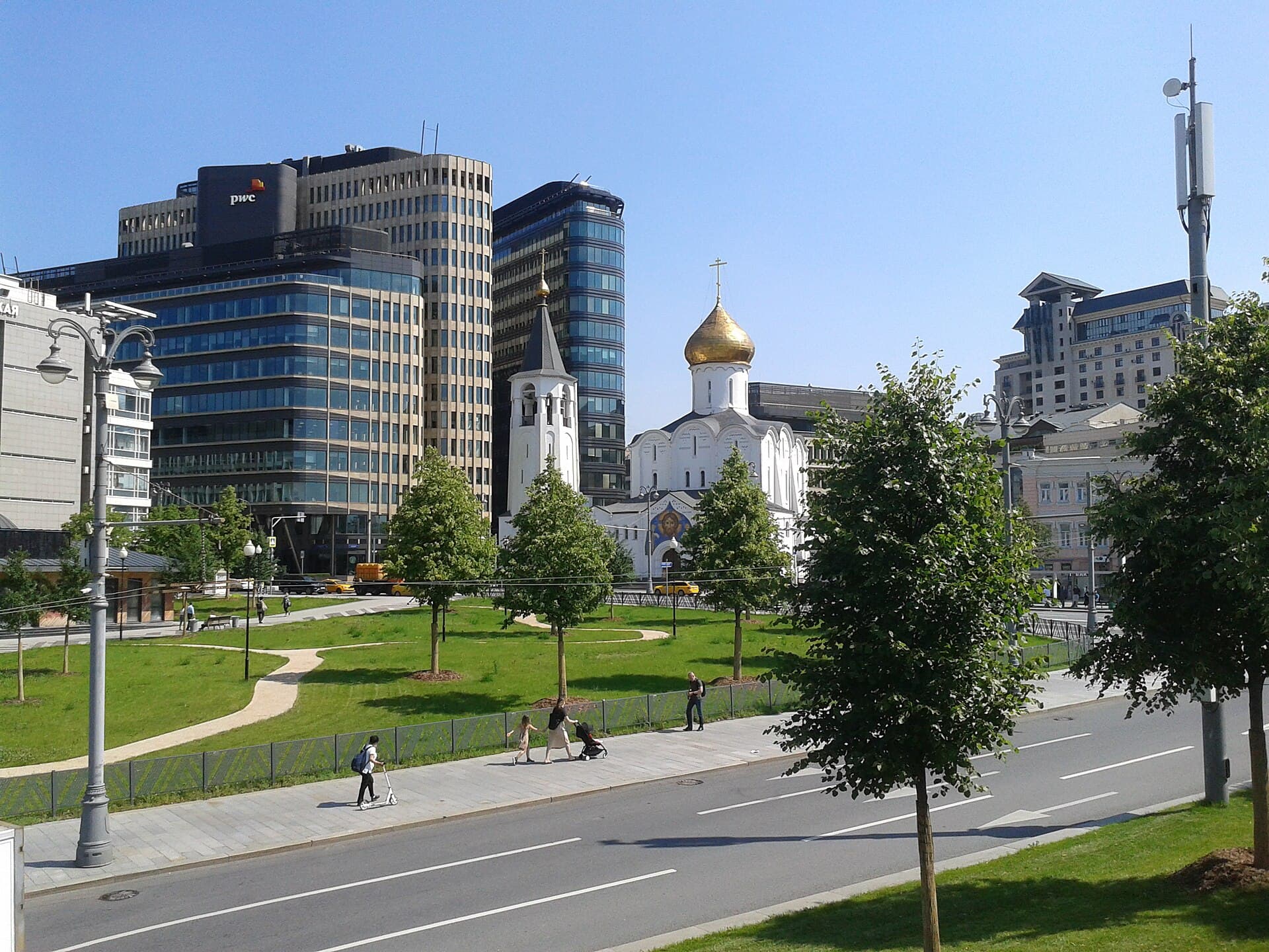
The district includes the Kremlin, Kitay-gorod and much of the former White Town — the Moscow where the city began. The roads to Tver, Vladimir, Ryazan and Smolensk started here and later became the radial avenues.
The name comes from Tverskaya Street, which grew out of the road to Tver and, after St Petersburg was founded, became the ceremonial entrance to the old capital. In the 1930s the street was widened: some buildings were demolished, and in 1939 the former governor-general’s residence was moved almost 14 metres back into the block.
Theatre Square took shape after the fire of 1812. Osip Bove’s Bolshoi Theatre opened in 1825; after a fire in 1853 Alberto Cavos rebuilt it, and that façade with Apollo’s quadriga became the emblem of theatrical Moscow.
- 行政区
- 中央 行政区
- 类型
- 区
- 人口
- 76,889 (截至 2025)
- 面积
- 7.3 平方公里
- 区内车站
- 17
人口数据来自 Wikidata(注明日期);面积依据 OpenStreetMap 边界计算;车站按其位于边界内的位置列出。
看点
Moscow Kremlin
A fortress, residence and museum ensemble. The brick walls and towers were built in 1485–1495 with the help of Italian masters.
Red Square
The country’s main square, inscribed on the UNESCO World Heritage List together with the Kremlin in 1990.
St Basil’s Cathedral
The Cathedral of the Intercession (1555–1561): nine chapels on one base and Moscow’s most recognisable silhouette.
Bolshoi Theatre
The historic stage on Theatre Square, framed by the Maly Theatre and the Russian Academic Youth Theatre.
GUM
The Upper Trading Rows of 1890–1893 by Alexander Pomerantsev, with glass roofs engineered by Vladimir Shukhov.
Nikolskaya Street
One of Kitay-gorod’s oldest streets, now pedestrian, looking towards the Kremlin’s Nikolskaya Tower.
漫步去处
- 01
Alexander Garden
Laid out in the 1820s along the Kremlin’s western wall above the Neglinnaya River, which was put underground. A guard of honour stands at the Tomb of the Unknown Soldier.
- 02
Hermitage Garden
An intimate garden on Karetny Ryad with summer stages and a theatre — a classic evening walk.
- 03
Kamergersky and Stoleshnikov
Pedestrian lanes between Tverskaya and Bolshaya Dmitrovka: cafés, bookshops and 19th-century façades.
建筑
A district of sudden changes in scale. Ceremonial squares and state buildings sit next to the pedestrian Kamergersky and Stoleshnikov lanes, where Moscow becomes intimate again.Kremlin walls and towers
Renaissance fortifications by Italian engineers; the tented tops of the towers were added in the 17th century.
GUM
Arcades under glass — an engineering innovation of its time and a landmark of the Russian Revival style.
Bolshoi Theatre
A classical portico with eight columns; a major restoration was completed in 2011.
Okhotny Ryad building
Arkady Langman’s Council of Labour and Defence building, an example of early Soviet neoclassicism, now the State Duma.
交通
Almost all radial metro lines meet here, with several interchange hubs between the central stations. The historic centre is compact: many distances are quicker on foot than by train.
在交通示意图上查看趣闻
- 01
The “Kilometre Zero” marker of Russia’s roads is set into the pavement by the Resurrection Gate.
- 02
Ploshchad Revolyutsii station has 76 bronze figures by Matvey Manizer; the nose of the border guard’s dog is polished by passengers’ touches.
- 03
The Neglinnaya River, which once washed the Kremlin’s western side, has flowed underground in a culvert since the 19th century.
图片集
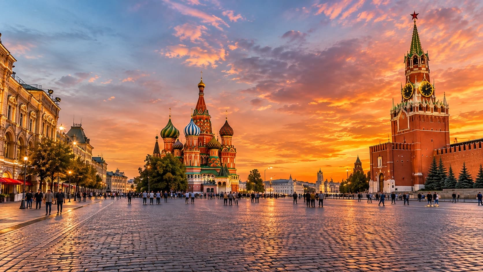
Red Square and the Spasskaya Tower
- Иллюстрация, созданная с помощью нейросети; предоставлена автором проекта / AI-generated illustration supplied by the project author
- Иллюстрация, созданная с помощью нейросети; предоставлена автором проекта / AI-generated illustration supplied by the project author
- Иллюстрация, созданная с помощью нейросети; предоставлена автором проекта / AI-generated illustration supplied by the project author
在地图上
边界:© OpenStreetMap 贡献者,ODbL. 边界依据 OpenStreetMap,2026 年 11 月.